SST example raster data set, at 0.25 degree resolution for global coverage
in "longitude180/latitude".
Details
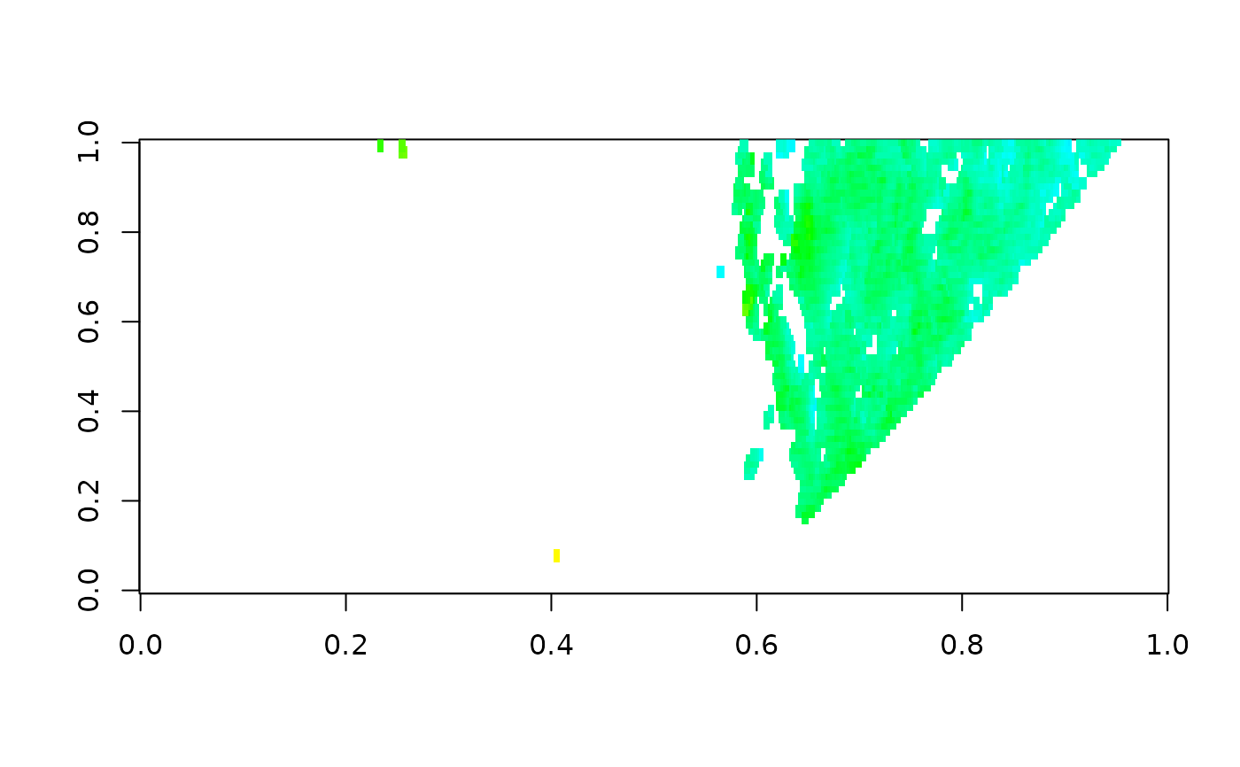
Small sample of 'VIIRS' daily chlorophyll-a 2026-06-15 from near Tasmania.
Created using script in data-raw/ using `raadtools` package.
References
Reynolds, et al.(2007) Daily High-resolution Blended Analyses. Available from
'NOAA' search for 'OISST'.
Climatology is based on 1971-2000 OI.v2 SST, Satellite data: Navy NOAA19
METOP AVHRR, Ice data: #' NCEP ice Source: NOAA/National Climatic Data Center.
Examples
dim(oisst)
#> [1] 160 140
class(oisst)
#> [1] "matrix" "array"
image(oisst, useRaster = TRUE)
 pal <- chl_pal(palette = TRUE)
image(t(chl[nrow(chl):1, ]), col = pal$cols[-1], breaks = pal$breaks)
pal <- chl_pal(palette = TRUE)
image(t(chl[nrow(chl):1, ]), col = pal$cols[-1], breaks = pal$breaks)